
Fervor (2008)
Exploring Clusters in Geospatial Datasets
Description
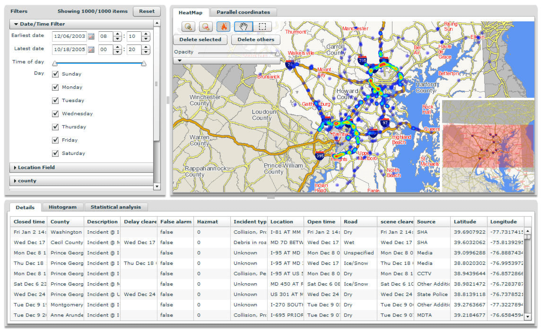
Analyzing multivariate geospatial data is a non-trivial task. Geographical location is a variable in itself that might be correlated with other fields in the data. When looking at the variable distribution in a geographical region, users often need to identify areas where the variable is overrepresented. We call such local maxima "hotspots" and present Fervor: a hotspot explorer. Fervor visualizes hotspots as a continuous heat map and offers a range of tools to investigate relationships within the underlying data. This project was continued and extended into ICE.
Members
Krist Wongsuphasawat, Michael VanDaniker, Darya Filippova, Joonghoon Lee, Ken Knudsen and Andreea Olea
Affiliation
Department of Computer Science, University of Maryland